DIPS2.0
飛行許可申請・ドローン登録システム・飛行計画の通報
国土交通省
ドローンの飛行ルール
安全飛行
国土地理院 地図人口集中地区
北海道ドローン協会
ドローンの講習日程
JULC
日本無人航空機 免許センター
エアロエントリー
DJI 無償付帯賠償責任補償
CAMP
エアロエントリー 指定教育プログラム
DJI Care Refresh
リフレッシュ交換サービス
DJI Assistant 2
ダウンロードサイト
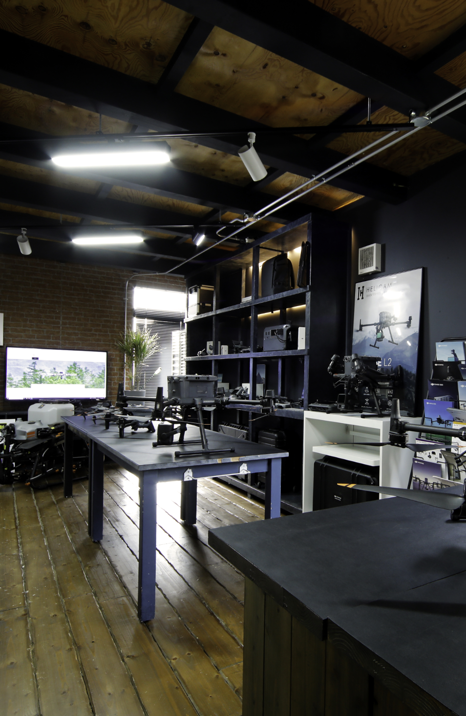
HELICAM株式会社へのお問い合わせ・お見積りのご依頼をお待ちしております。