


MISSION
NEW VISION
NEW CREATION
新たな視点で、新たな創造を。
新しい技術で課題を解決し
自らの発想で使い方を創造する
そして誰もが使える世の中を作る
新しい技術で課題を解決し
自らの発想で使い方を創造する
そして誰もが使える世の中を作る
ドローン制作会社として起業
自作ドローン販売開始
札幌市内のドローン練習場「Novel Drone Park」を中央区盤渓にオープン
北海道ドローン協会設立・参事参加
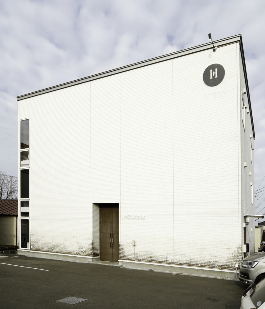
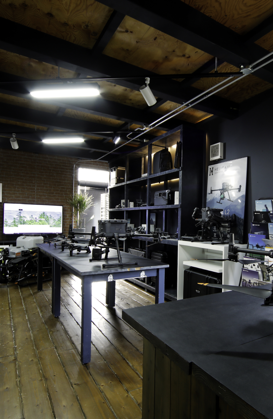
DJI認定ストア札幌オープン
北海道・総合振興局「モグ対策実装実験事業」コンソーシアム参加
農用地帯「イノベーション創出拠点形成研究開発事業」コンソーシアム参加
北海道開発局「無人航空機操縦教育訓練委託業務」講師
NEDO「観測特性・送受信を考慮した災害予測システム実証事業」参加
北海道庁「橋梁等下部におけるドローン活用実証事業」
北海道庁「ドローンマルチユース実証事業」